top of page

Blog

Blog Picture.jpg
Search

Today is our second wedding anniversary!


Of course, we ended up visiting the National Archives in the morning.

In my defence, I had a valid reason. I had applied to view National Archives documents for my ongoing research project, and some of them were for Restricted Access only. This meant I could only view them during office hours in the building off Hill Street. Since we were both on leave on a weekday, which was rare, we decided to head there and tick that off my to-do list!


It was my first visit to the National Archives since it reopened last year after extensive renovations. The interior is now newer, fresher, brighter - and its old rustic charm has vanished. Even the toilets with historic Save Water Campaign posters and old-school tiles have been completely overhauled. (They look like hotel toilets now.)

I should have taken photos of the interior before it closed for renovations.


Anyway, I had fun going through archival documents which probably haven’t been touched or viewed for years.


  • Mar 5, 2021

I visited Seng Chew Quarry, a disused granite quarry which once supplied the hardy material for the construction of buildings and roads in Singapore.


Seng Chew Quarry was one of several quarries which scarred the line of hills presently running down the right side of the southern part of Choa Chu Kang town and the northern part of Bukit Batok town. The hills included Bukit Panjang, Bukit Gombak I, Bukit Gombak II, and Bukit Batok, ranging from 294 to 434 feet in height (Bukit Timah Hill’s taller than all of them at 537 feet). The quarries included Ideal Home, Lian Hup, Seng Chew, Gammon, and Poh Kim. Whatever’s left of Ideal Home and Lian Hup now lie inside Bukit Gombak Camp, Gammon’s lake is Little Guilin, and the remains of Poh Kim is a lake inside Bukit Batok Nature Park.


The 1961 map below shows the hills in blue and the quarries in yellow:

Base picture credit: National Archives of Singapore.

Seng Chew Quarry lies on the slopes of Bukit Gombak I, as seen in the Google Maps image below. Most of the hill is off limits, no thanks to Bukit Gombak Camp.

Base picture credit: Google Maps.

Access to Seng Chew Quarry was surprisingly easy, and the route hasn’t been fully manicured by the authorities yet, although I’m not sure for how long more this will be the case.


I took the train to Bukit Gombak MRT Station on the North South Line, took Exit D, and walked past the Bukit Gombak Sports Hall to Block 383 Bukit Batok West Avenue 5.


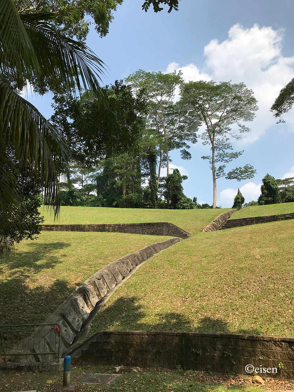
Next to the block was rising terrain, which I guess had been neatly sculpted and planted over with grass. A storm drain had also been installed to aid in drainage.

I climbed up the hill to where the grass ended and the forest began (Location A below). (The path I took during my exploration is marked in light blue.)

Base picture credit: Google Maps.

The slopes of Bukit Gombak I as I climbed the hill.

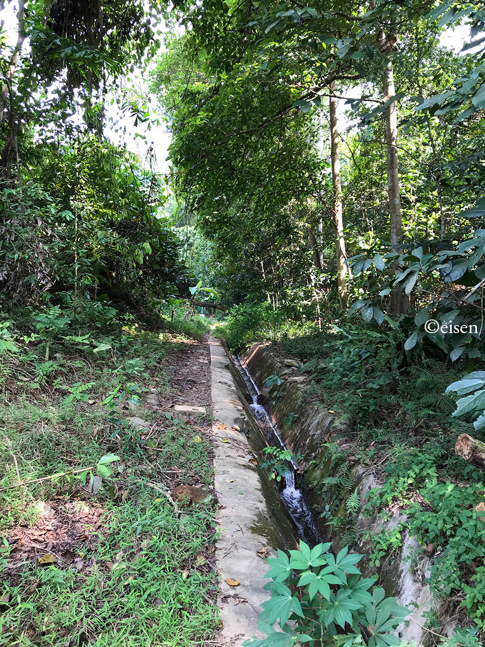
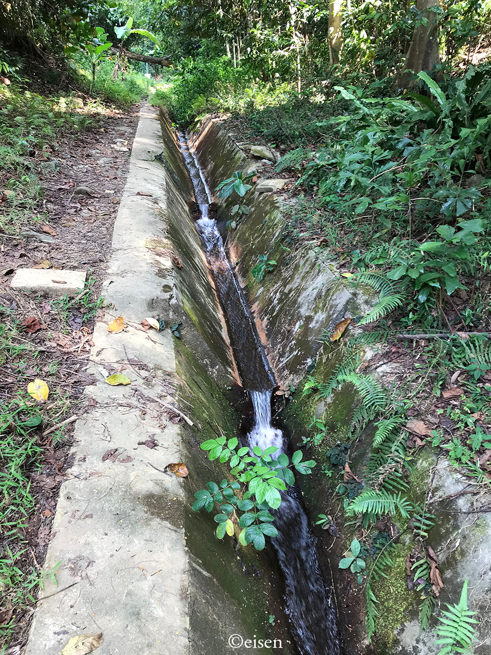
Where the grass ended and the forest began, there was the sound of a flowing stream - it was water draining out of the quarry lake.

I read online that the water had magical properties. No, I did not drink it; I did wash my hands with it, but nothing has happened to them yet.

I followed the stream and ventured into the undergrowth. There was forest on both sides but the stream made it easy to head in.


Further in, there was a fallen tree lying across the path, but it was easily scaled.

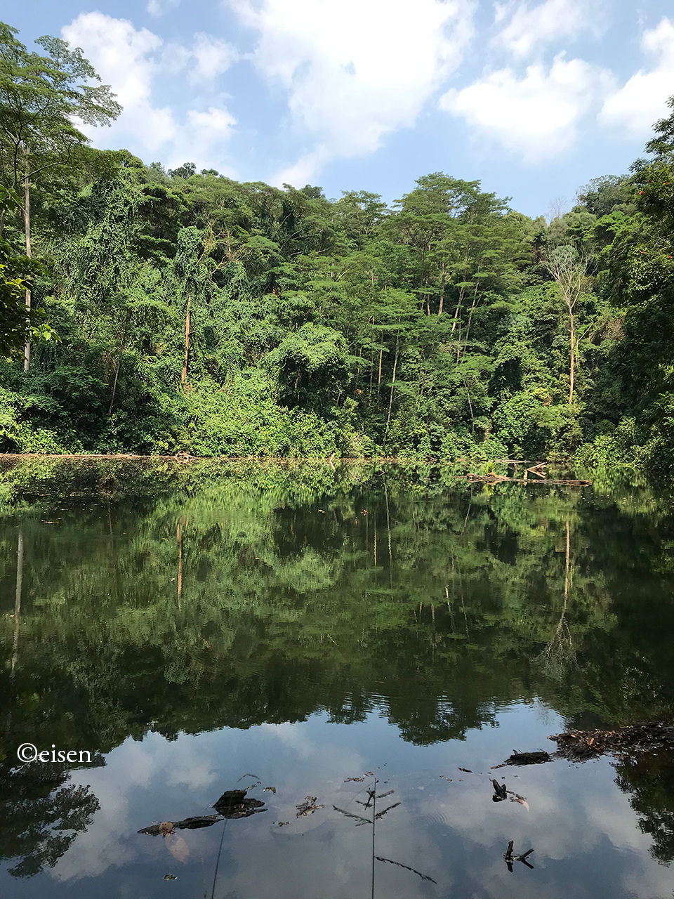
It took me fewer than two minutes to reach the quarry lake.

There was an opening on the left side of the fence, which allowed me to go right up to the edge of the lake.


All was quiet and peaceful. Only the low calls of birds and insects broke the silence.

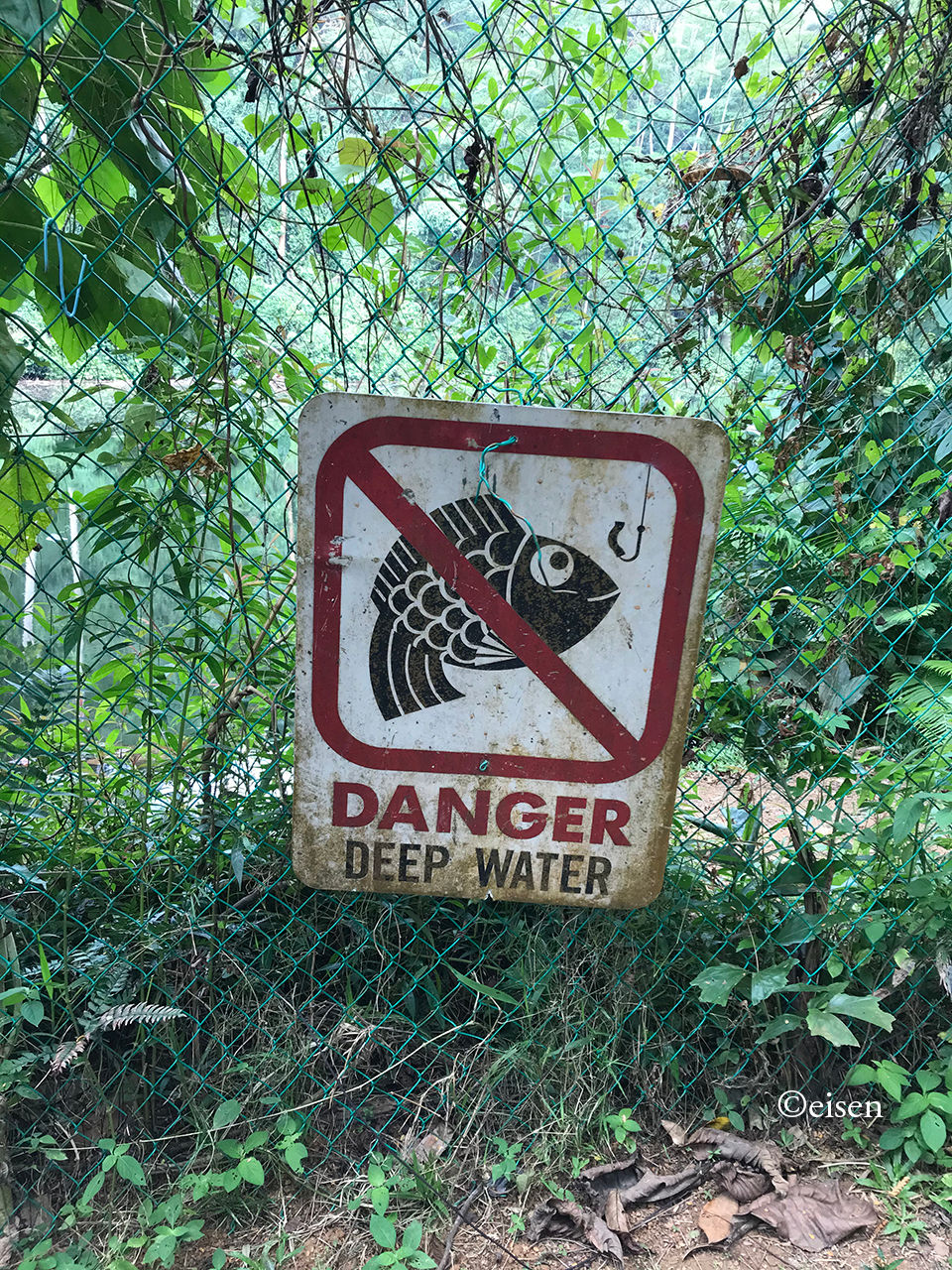
The lake was very still. I wondered how deep it was. I’m sure people have drowned in it.


Near Location A, starting at Location B, there was a path running uphill through thick undergrowth. This was the view from Location B.

The uphill path ended at a clearing at the top of a rocky outcrop which gave an excellent view of the quarry and its lake.


From this vantage point, the size of the quarry was clear to me.

Here’s proof that I was there!

If I was a resident of the nearby flats, I’d come here every week to commune with nature! I hope the authorities leave this place as it is.

Yesterday, I explored the ring of three public roads and two closed roads that surround the vast, open field that I dub the Old Holland Plain. The plain lies to the south of Methodist Girls’ School and King Albert Park MRT Station.


The public roads are Old Holland Road to the north, Holland Link to the east, and Holland Plain to the south. The closed roads are Holland Road South and Holland Road West. Together, they surround a sprawling patch of quiet, open greenery a short walk from the busy Bukit Timah-Dunearn trunk road.

Base picture credit: Google Maps.

Old Holland Road was derived from Holland Road. I’ve written about the latter as a secondary trunk road in Jalan Singapura. Holland Road wasn’t named after the geographical region in the Netherlands; rather, it was named after a person, probably Sir Henry Holland (1825-1914), Secretary of State for the Colonies from 1887 to 1892.

Sir Henry Holland in 1906.

Back when anything west of Orchard Road was considered “the country”, Holland Road served the suburban, northwestern part of the Municipality of Singapore. After a realignment sometime between the 1870s and 1880s, Holland Road connected Napier Road and Bukit Timah Road, running northwest for much of the way, then northeast, for a total of four and a half miles.


Holland Road in 1954, shaded blue:

The area I explored was the northern section of Holland Road in 1954, close to Bukit Timah Road. The Chinese cemetery at the 7th Milestone of Holland Road was Fong Yun Thai Cemetery, a Hakka graveyard.


The northern section of Holland Road in 1975:

Smaller tracks branching off the road, such as Yoon Kim Road, Lorong Makam, and Lorong Panchar, had been named.


The same area in 1995:

Methodist Girls’ School had moved to the area from Mount Sophia. Fong Yun Thai Cemetery had been exhumed; the remains of its deceased had been moved to a columbarium built by the association which had managed the cemetery.


The aforementioned tracks of Yoon Kim Road and Lorong Makam had been expunged; the latter for Holland Lane.


The area in 2007:

A new road system was forming - Holland Road North, Holland Road West, Holland Road South (absorbing Holland Lane), and Holland Link to create a ring road connecting Holland Road to Blackmore Drive. The stretch of Holland Road east of Brizay Park to Bukit Timah Road had been renamed Old Holland Road.


And the area today:

Base picture credit: Google Maps.

The area remains largely undeveloped. Part of Holland Road has been expunged. Holland Road West and half of Holland Road South remain closed; the other half of Holland Road South is now Holland Plain. Holland Road North has been renamed and added to Old Holland Road; this means the western part of Old Holland Road today is ironically, not so “old” - it is about 20 odd years old.


I started my journey in the south, where Holland Road South, Holland Road, and Holland Plain met.

People parked their cars here to play with their drones. I wonder whether they knew this wide expanse was once a Hakka cemetery. I tried imagining a sea of graves before me.

Holland Road South, closed to motor traffic. One could walk in though. Joggers used it too.

I walked on Holland Road South, heading west.

As Holland Road South gave way to Holland Road West, the road narrowed significantly, partly because years of neglect had allowed trees and bush to reclaim part of the road. Observing how nature encroached upon an abandoned road was fascinating.

Most of Holland Road West was split vertically 1:2 - one-third was left for pedestrians, joggers, and cyclists, while two-thirds was fenced off; a peek past the fence reveals a dusty track connected to work sites.

Holland Road West meets Old Holland Road and Blackmore Drive here.

This part of Old Holland Road used to be Holland Road North - not a very “old” road.

Old Holland Plain, formerly Fong Yun Thai Cemetery.

Holland Link.

The Fong Yun Thai Association Columbarium lies along Holland Link. More about the columbarium in a future post!

Holland Plain, formerly Holland Road South, and before that, Holland Lane, and further before that, Lorong Makam.

According to the Urban Redevelopment Authority’s 2019 Master Plan, Old Holland Plain is slated for housing. Laurel Wood Avenue will also be extended to connect Holland Link and Holland Plain to Sixth Avenue:

Credit: Urban Redevelopment Authority.

Like many open patches of greenery in Singapore, we’ll have to enjoy this while it lasts.

Copyright © 2023 Eisen Teo. Proudly created with Wix.com

bottom of page